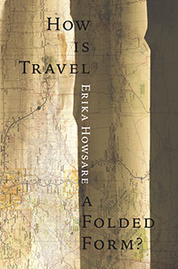
Erika suggested an approach which I liked. I ordered a Colorado road map from Amazon (they are in short supply in Hilo). Then I took a 1906 USGS topographic map of a part of Colorado, and laid it under a picture I made of the road map, folded up and distressed a bit. Both Erika and I are very pleased.